Obj. ID: 49336
Jewish Funerary Art Jewish cemetery in Szczuczyn, Poland

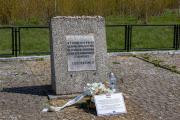
According to ESJF European Jewish Cemeteries Initiative, the cemetery was likely established either at the end of the 18th century or the beginning of the 19th century. It was certainly in existence before 1845 as it is mentioned in the records of the Office of the Synagogue Fund from 1845. In 1874, a funeral house was either erected or rebuilt. In 1941, the cemetery was used as a place for executions and the burial of the victims of the pogroms. The bodies of people killed on June 25, 1941, in various parts of the city, were buried there. About 100 men were murdered in the cemetery. The destruction of the cemetery began at this time, and continued to degrade in the following years. The tombstones were used as building material, and the cemetery was used for cattle grazing. In the period of the Polish People’s Republic, a monument was placed in the cemetery with an inscription that refers to the German crime of 1941, but the mentioned date is wrong.
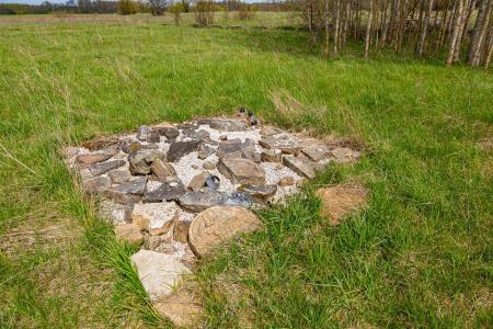
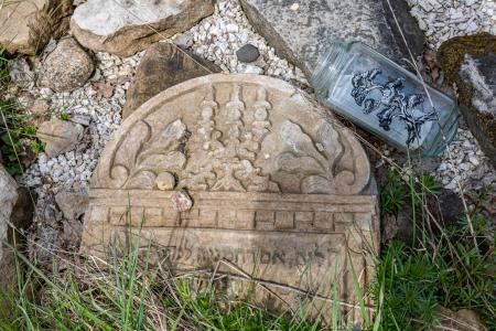
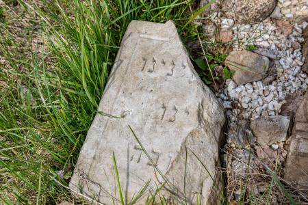
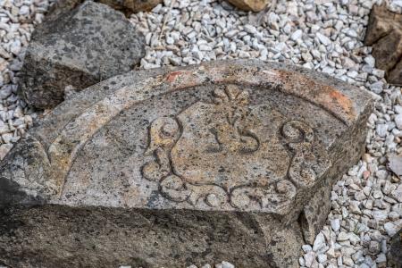
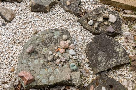
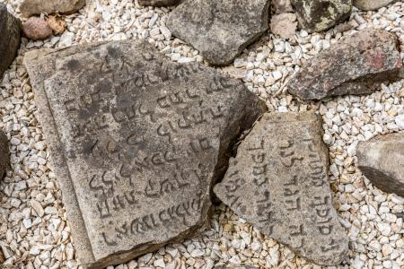
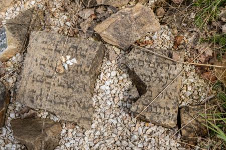
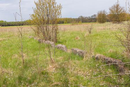
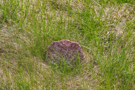
As a result of the destruction of the cemetery, there are only a few, single destroyed tombstones (in 2016 they were arranged in one place by M. Tryczyk and priest W. Lemański), concrete foundations of the tombstones, and the remains of the fence. In the northwest corner, there is a grave for the victims of the pogrom, with the monument erected during the Polish People’s Republic.
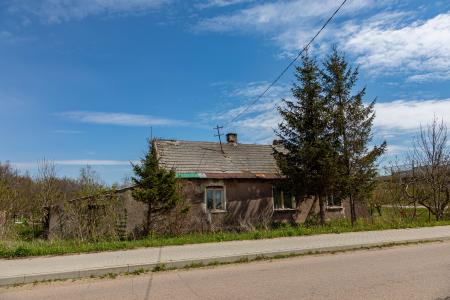
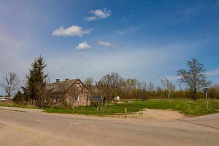
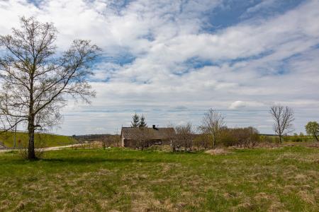
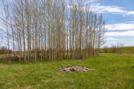
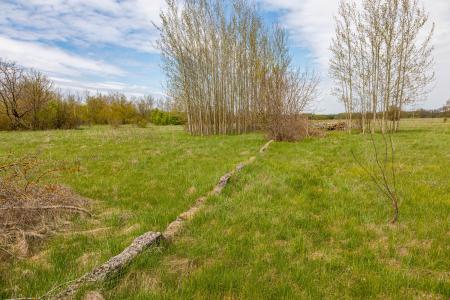
At 6a Grunwaldzka Street, a one-floor funeral house, covered with a gable roof, currently used for residential purposes, has survived. About 20% of the cemetery’s area is covered with forest. The treeless part is used for cattle grazing. Proceedings for the transfer of the ownership of the plot to the Jewish community are pending. The facility is listed in the Provincial Register of Monuments, and it is not listed in the Register of Immovable Monuments of the Podlaskie Province.
The cemetery covers a plot of approximately 3.4 hectares.
Perimeter length: 791 metres
The territory of the cemetery is a meadow, partially overgrown with trees and bushes. The central area has visible remains of a concrete wall and there is a Holocaust memorial. About 40 preserved tombstones are not located in situ and have been placed in a lapidarium.
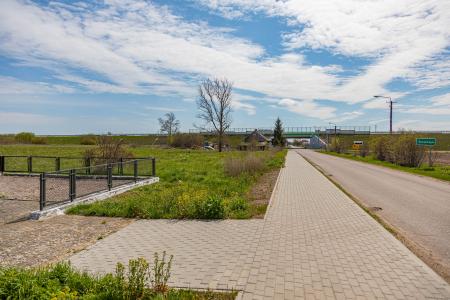
The Jewish cemetery is situated among Grunwaldzka Street and National Road 61 (DK 61). Heading north from Szczuczyn on Grunwaldzka Street, the cemetery is located along the eastern side of the street, just after the intersection with National Road 61.