Home
   Under Reconstruction!
Object Alone

Obj. ID: 51996
Jewish Funerary Art
  New Jewish cemetery in Mikołów, Poland

© ESJF European Jewish Cemeteries Initiative, Photographer: ESJF European Jewish Cemeteries Initiative, 2021

According to ESJF European Jewish Cemeteries Initiative, the cemetery is located in the southwest part of the town, between Konstytucji 3 Maja and Stara Droga Streets, occupying an irregular triangle-shaped plot, with an acreage of approximately 1 hectare (ha). The cemetery was most likely founded at the beginning of the 18th century, as evidenced by recovered tombstones from 1726. Until the end of the 18th century, the cemetery was the burial site for Jews from Pszczyńskie Wolne Państwo Stanowe. Initially the cemetery occupied a triangular plot with an acreage of 0.56 ha. In 1828, the neighbouring western plot of land was purchased, with an acreage of 0.44 ha.

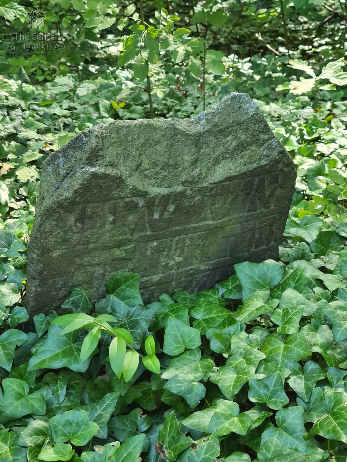
The cemetery survived World War II in good condition. On January 16th, 1945, the cemetery was the execution and burial site of 14 Poles who were killed by the Germans. Several days later, approximately 50 victims of the KL Auschwitz-Birkenau death marches were buried there as well. After 1945 the area fell into disrepair. Local residents gradually took apart the brick-stone wall and removed the tombstones. The undertaker’s house was occupied by a third party. The cemetery briefly became the site of Roma camps. In 1958, the Minister for Local Economy signed a by-law to close the cemetery. The accompanying documentation notes an acreage of 1.42 ha. In 1988 the local government cleaned and fenced the area. There are currently approximately 420 tombstones in varying states of preservation in the cemetery, including 289 with decipherable inscriptions (list available at https://sztetl.org.pl/pl/miejscowosci/m/445-mikolow/115-pamiec-w-kamieniu/21650-cmentarz-zydowski-ul-stara-droga). The area is wooded, and the ground is overgrown with ivy. The area is surrounded by steel spikes that are approximately 1 metre high. In the northwest, unfenced area, there is a memorial dedicated to those who fell in 1945. The cemetery is owned by the National Treasury and it is included in the voivodeship register of historical landmarks, but not the register of immovable monuments.

According to https://sztetl.org.pl/, during the inventory carried out by Mikołowski Historical Society in 2006, there were 423 tombstones. ESJF field team managed to identify only four tombstones due to dense and impenetrable vegetation.
Date of oldest tombstone: 1726 (info by sztetl.org.pl).
Perimeter length: 445 meters
 
The cemetery is situated at the intersection of Stara Droga and 3, Maja streets. Entrance is behind the storage building on Stara Droga, 2d.
Summary and Remarks
Remarks

18 image(s)

sub-set tree:

Name/Title
New Jewish cemetery in Mikołów | Unknown
Object Detail
Monument Setting
Unknown
Date
1726 (The earliest tombstone according to sztetl.org.pl)
Synagogue active dates
Reconstruction dates
Artist/ Maker
Unknown
Historical Origin
Unknown
Community type
Congregation
Unknown
Location
Poland | Śląskie Voivodeship | Mikołów (Mikolow)
| Adjacent to 2d, Stara Droga Street
Site
Unknown
School/Style
Unknown|
Period
Unknown
Period Detail
Collection
Unknown |
Documentation / Research project
Unknown
Iconographical Subject
Unknown |
Textual Content
Unknown |
Languages of inscription
Unknown
Shape / Form
Unknown
Material / Technique
Material Stucture
Material Decoration
Material Bonding
Material Inscription
Material Additions
Material Cloth
Material Lining
Tesserae Arrangement
Density
Colors
Construction material
Measurements
Height
Length
Width
Depth
Circumference
Thickness
Diameter
Weight
Axis
Panel Measurements
Condition
Extant
Documented by CJA
Surveyed by CJA
Present Usage
Present Usage Details
Condition of Building Fabric
Architectural Significance type
Historical significance: Event/Period
Historical significance: Collective Memory/Folklore
Historical significance: Person
Architectural Significance: Style
Architectural Significance: Artistic Decoration
Urban significance
Significance Rating
0
Ornamentation
Custom
Contents
Codicology
Scribes
Script
Number of Lines
Ruling
Pricking
Quires
Catchwords
Hebrew Numeration
Blank Leaves
Direction/Location
Façade (main)
Endivances
Location of Torah Ark
Location of Apse
Location of Niche
Location of Reader's Desk
Location of Platform
Temp: Architecture Axis
Arrangement of Seats
Location of Women's Section
Direction Prayer
Direction Toward Jerusalem
Coin
Coin Series
Coin Ruler
Coin Year
Denomination
Signature
Colophon
Scribal Notes
Watermark
Hallmark
Group
Group
Group
Group
Group
Trade Mark
Binding
Decoration Program
Suggested Reconsdivuction
History/Provenance
Main Surveys & Excavations
Sources
Type
Documenter
|
Author of description
|
Architectural Drawings
|
Computer Reconstruction
|
Section Head
|
Language Editor
|
Donor
|
Negative/Photo. No.
The following information on this monument will be completed:
Unknown |