
Obj. ID: 40958 Geographica Sacra by Samuel Bochart, Frankfurt am Main, 1681
2 image(s)


sub-set tree:
This text was prepared by William Gross:
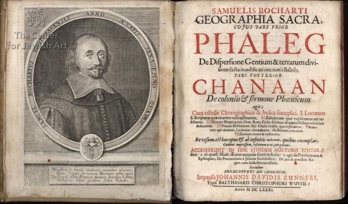
Bochart was a 17th century French Huguenot biblical scholar whose work was foundational to the founding of the field as a topic of academic inquiry. The "Geographica Sacra" was first published in Caen in 1646. It seeks to explain the origins of civilization in antiquity based on the biblical stories of the flood and Tower of Babel. Bochart attempted to match the 70 nations mentioned in the biblical account with the various ethnic groups of Europe, Africa and Asia. Critical for Bochart was his claim, which he took from Jewish midrashic sources, that Hebrew was the original language and that all other languages came about because of the Tower of Babel. Includes poems of approbation from Claudius Sarravius, one of the leading men of letters in the 17th century, the French Huguenot poet Philippe le Sueur de Petiville, Franciscus Saracenus, Aegid Menagius, Jacobus Bridou, Petrus du Bosc, Jacobus Savary and Johannes le Myere. Dedicatory introductions by Bochart to Jacob Turgot of St. Clair and Claudius Sarravius. Letter to the printer Pierre de Cardonnel and Bochart authorizing the printing of the book signed by the Belgian Federation censors G. van Hoolk and Corn Musch. Illustrated with 4 engraved fold-out maps of the dispersion of the nations following the Tower of Babel and the Aegean sea with Hebrew and Latin place names. 5th foldout page contains a passage from the Latin playwright Plautus compared to a Hebrew text in order to show the links between the two languages. Text in Latin with sections in Greek and Hebrew. This is apparently the third edition.
Bochart Samuel, “Geographiae Sacrae”, Cadomi (Caen) Cardonelle, 1651. Second edition of the the most influential geographical work of the 17th century. Folio (35x24cm), [26]p.,864p.,[88]. Engraved title, in its back there is a printed dedication, in Greek, to Bochard by Stephanos (a Greek monk). Complete with 4 double page plates of maps containing all Bochart’s original 13 maps. Bochart (1599-1667) was a famous Protestant Theologian and Geographer of the 17th century. His Sacred Geography is the first systematic effort to approach the ancient geography of the Bible, by attempting to identify the actual position of the Biblical places. His original manuscript (now in BNF) was written in the 1630s and contained 13 maps. He lived in Caen (Normandy) and there he managed to publish his work after 10 years of efforts. The result was an impressive printing achievement, as five alphabets (Latin, Greek, Arabic, Hebrew and Ethiopian) had been used in a single publication for the first time in history. Due to high printing costs, he embedded his 13 maps in just 4 plates. The success was remarkable and the work was reissued in a second revised edition in 1651, while luxurious editions (with 13 plates) followed in 1692 and 1707 after the death of Bochart.